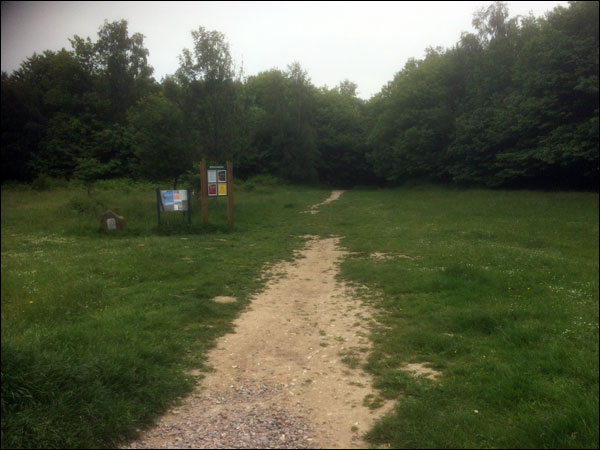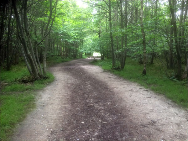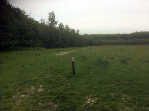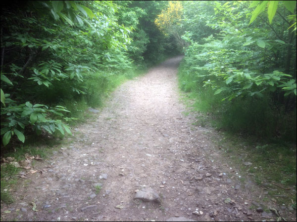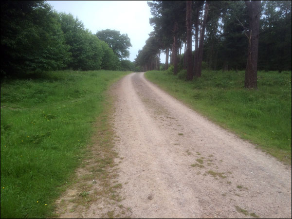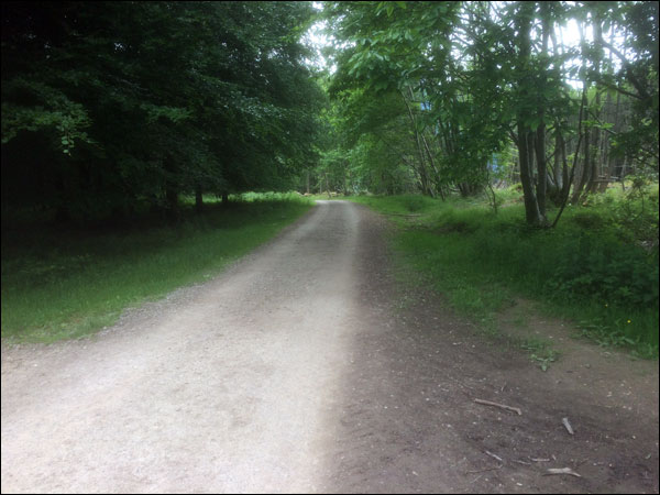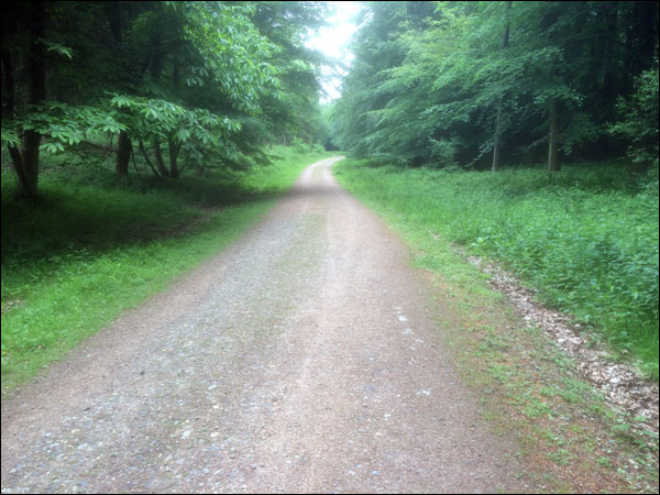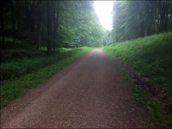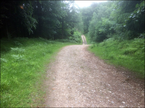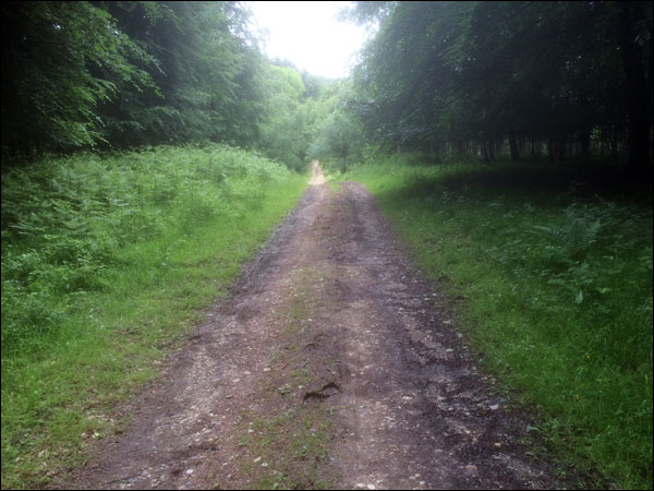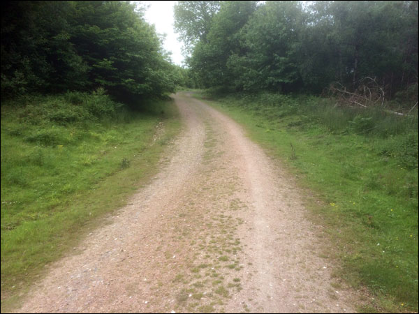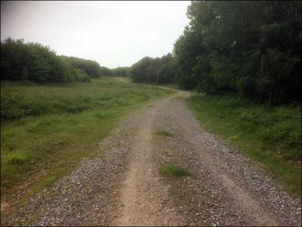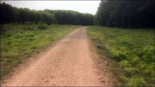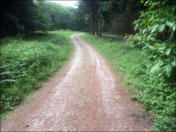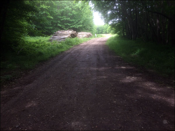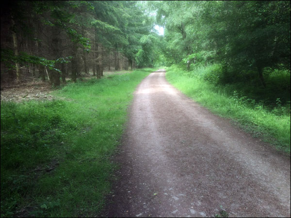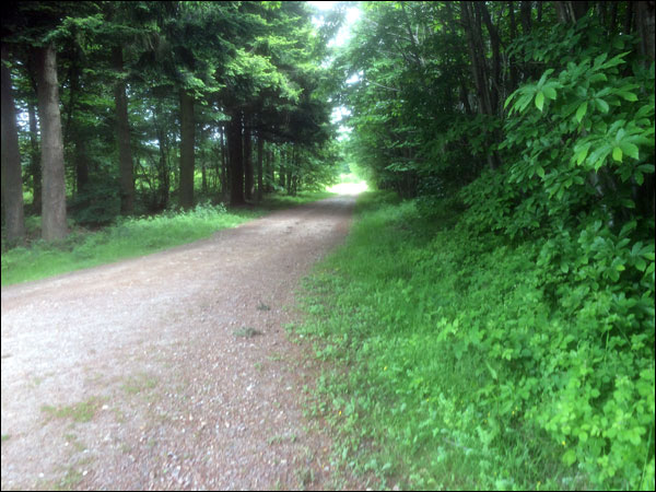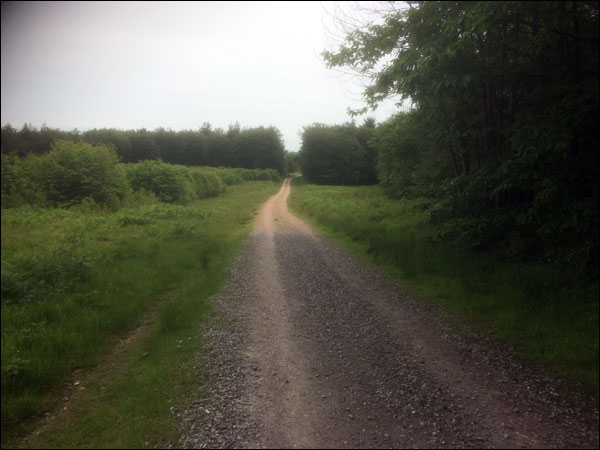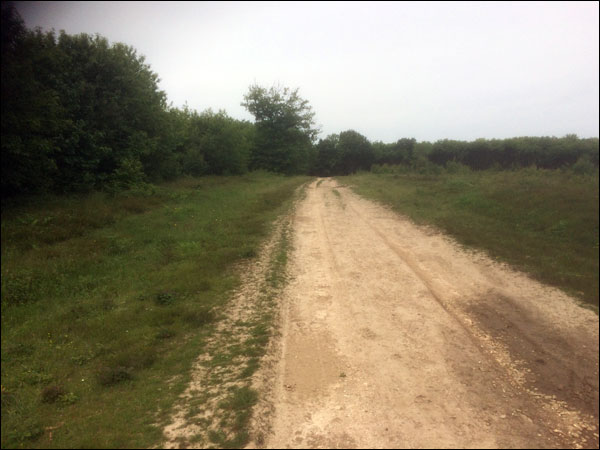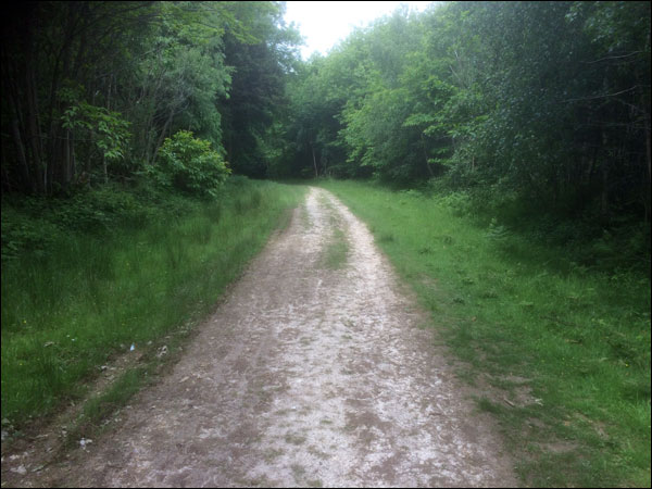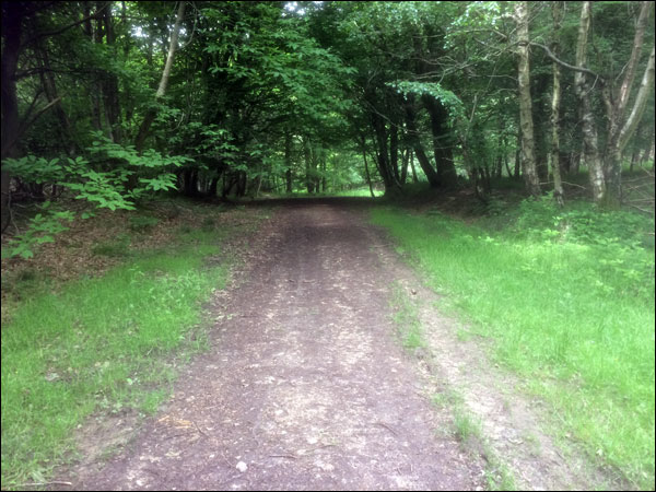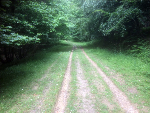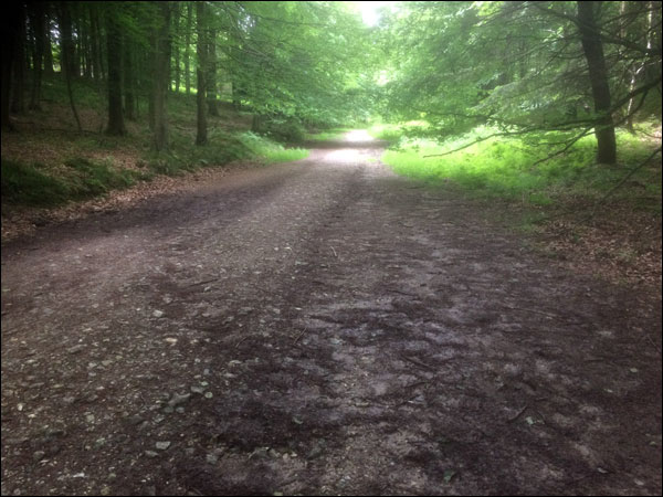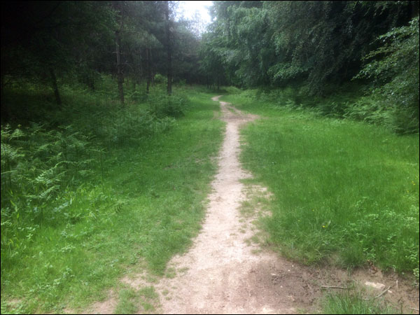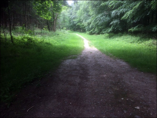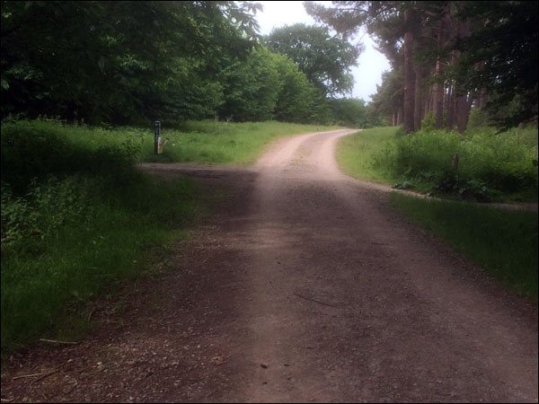
Course Information
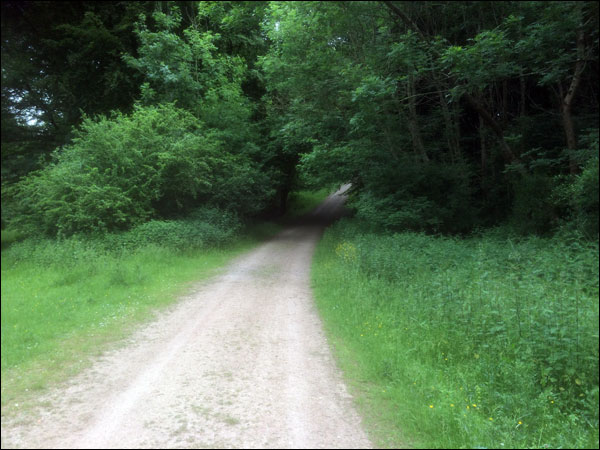
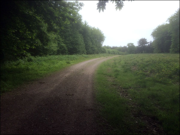
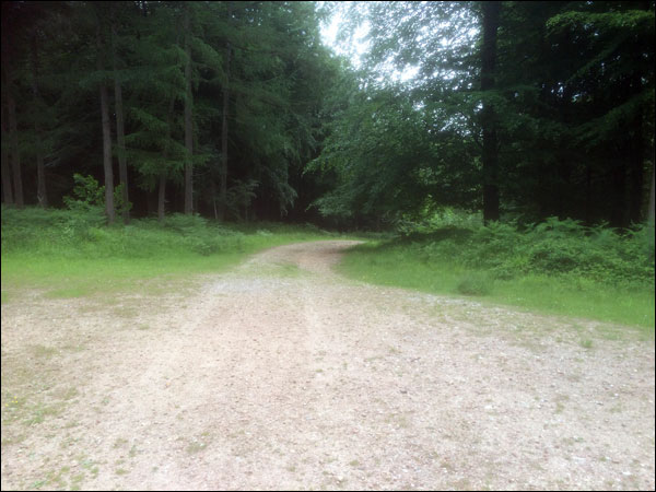
The course runson well defined trails around King's Wood and is 100% off road and traffic free.
The 5.36 mile loops route is viewable on MapMyRun here.
The 4.40 mile loops route is viewable on MapMyRun here.
We're going to use a 4.40 mile loop for this event. (Although depending on the prevailing conditions of the day we may have to change this depending on the advice of the rangers who may wish us to avoid ground nesting bird areas or anything exceptionally muddy)
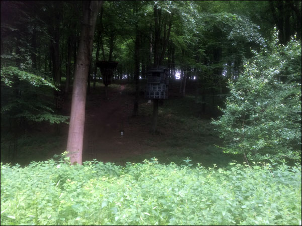
There are slopes rather than hills, so its not totally flat, each loop has maybe 350 feet of elevation rise, but there are some lovely woods to run, a few "art" installations and generally speaking you're well away from the world and in the depths of nature.
The route is suitable for either road or trail shoes if its dry, if its wet then we'd err towards trail shoes.
Photos below are from the route run in a clockwise direction...